Well, we knocked the bastard off, as Sir Ed was wont to say.
OK, it wasn’t exactly a 12,000 metre mountain, but Cape York was our Everest.
Standing by the somehow strangely nondescript sign informing us that we were at mainland Australia’s most northerly point, it was almost an anti-climax after six weeks and over 5000 km of driving on everything from tarmac to bulldust, sand to rocky river beds.
But it felt pretty good all the same.
The last few days have been spent traversing the OTL, which stands for the Overland Telegraph Line, or as the locals call it, The Track.
It isn’t for the faint hearted.
I have to say there were quite a few times when I thought Chuckie was unlikely to make it.
For the uninitiated, the Telegraph Track is a very rough single lane route taken by the original telegraph cable that ran all the way to the tip of Australia until it was replaced by a microwave link in the 1980s, and now by Telstra fibre optic cable.
The original track was mostly navigated on horseback and later by 4WD, and the 120km or so of it that still remains is not maintained, except by the drivers who use it.
It ranges from pretty reasonable to downright hair-raising, with steep drops down river banks into gullies, stream crossings that go over the bonnet, and sandy, corrugated tracks.
 |
Chuckie navigates the notorious Palm Creek crossing |
I should have known what we were in for when we arrived at the first major creek crossing to find an audience in attendance. People had placed deck chairs along the top of the banks, poured themselves drinks, and had sat back to watch those brave enough to try to get across.
I’m not making this up. You could have sold tickets.
Those who made it received a round of applause. Those who got stuck got an even bigger round of applause. Those who knocked bits off their vehicles got whistles and cheers.
We weren’t sure if our humble little truck would make it, so we decided to camp by the river and sleep on it. Surely it would look better in the morning, we reasoned.
It didn’t.
But a nice bloke called Tom and his lovely girlfriend Bella offered to winch us out, if we got stuck. That was enough of an insurance policy for me, and I inched Chuckie down into the creek.
 |
On the Telegraph Track |
The drop in was so steep I mostly slid down, but managed to avoid nose-diving into the bog at the bottom. Just.
A round of applause.
Then it was just a matter of getting up the other side. I had a few goes, but only got a handful of metres each time before sliding back down. A kindly old chap with a spade dug some sand in behind the wheels for me and then lent through the window.
“Kick her in the guts, son,’’ he advised. “Give it heaps.’’
Throwing caution to the wind I floored the truck and to my surprise (and everyone else’s) Chuckie clawed its way up the other side and out, to a standing ovation.
Much bigger vehicles than ours had required winching out, so we were pretty pleased with ourselves.
We spent the next three days traversing the OTL, camping by the crystal-clear streams, swimming in the croc-free water, and marveling at our surroundings, which ranged from dense rainforest to scrub and savannah. It was bliss.
Finally we emerged from the OTL onto the main bypass road (still corrugated dirt of course) to the Jardine River ferry and The Top.
You can cross the Jardine in your vehicle, if you don’t like it very much. Around 100 people a season try at the old ford crossing, apparently, and most end up at the bottom of the river. It’s about 1.5m deep and around 100m wide, with a sandy bottom. And a few rusting car wrecks.
Another bone-jarring 100km on dirt roads saw us to the top.
From the tip of Cape York you look out on the Gulf of Carpentaria where it meets the Coral Sea. Due north is Papua New Guinea, less than 200km away. Bali lies 3000km to the north west; Darwin 1300km to the west. Wellington is 4000km due south.
 |
Lunchtime on the Telegraph Road |
The sun beats down from a cloudless blue sky. The sea is a beguiling turquoise. Beguiling because while it looks picture-postcard perfect, it’s teeming with sharks, crocodiles, and stingrays. The 30 degree heat and the white sand beaches tempt you, but no-one swims in the sea up here.
I have to make do with dipping my toe in the sea instead.
After the obligatory round of photos we head back to our camp at Loyalty Beach, where we’ve set up right on the beach front. Tonight we watched an orange sun sink into the sea – a treat for east coasters like us.
Tomorrow, it’s time to head all the way back down the cape before striking west, across the Savannah Way, to Darwin, some 2000km away by road.
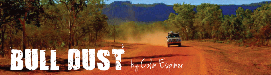
Even though we’ll take the bypass roads back down the cape (they avoid the OTL) it still seems an exhausting prospect. Much of it will be on Australia’s ubiquitous outback roads, and already we and everything we own has turned a deep reddish brown from the bulldust.
What was it Sir Ed said about mountaineering? Getting to the top is easy. It’s getting back down that’s the hard bit.
 |
Cape York, at the most northerly point in mainland Australia |
Looks like you are both having a ball - might be a struggle fitting back into civilisation again - you'll have to become a permanent hippies!
ReplyDelete